Maps and more maps
Using a digital mapping system allows us to create map layers and overlay these in different combinations. In the example below we can take the parcel and floodplain layers and put them on top of the ortho-photo. This provides us with a general idea of where the floodplain is in relation to the property.
The blue area is within the 100 year floodplain and the black lines are the property lines.

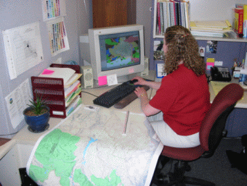
There are perhaps over 500 different map layers in our system,some are used hourly, other perhaps once a year or less. There are layers that show environmental information like soils, geology, or elevation. Other layers are administrative: voting precincts, school district boundaries, zoning, city boundaries or zip codes. Some are derived from other layers, like residential parcel sales (parcels) or road pavement type (roads). These map layers are used in combination with each other to answer questions or to assist residents in doing business with the county.
Creating and maintaining these layers is the job of our GIS technicians and analysts. They review new changes and edit the layers to keep them current. In some cases programming and further analysis is required to develop the information.

We can create maps for you with any number of layers. The only real limit is keeping the map readable and not cluttered up with too much information. Our technicians and analysts are highly trained cartographers and can assist you in your maps needs, just contact us.